The project has started successfully and the work has been carried out so far as planned. First SEVIRA progress meeting took place in St. Petersburg 15-16 April, 2019. Next meeting will be in Kouvola in October 2019.
In the progress meeting all working groups presented their activities and planned next steps.

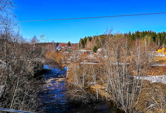
Seleznevka river.
Monitoring
Transboundary hydrological workshops and training
One aim of this work package is to increase conversation and knowledge exchange of hydrological monitoring and its practices between Finland and Russia. The First workshop of this theme was held in St. Petersburg on March 6, 2019. (Linkki uutiseen) The next activity of the work package will be a joint field trip for hydrological measurements organized in Lappeenranta, Finland, in early May (6.-8.5.2019).
Improving transboundary hydrological data
Project Instruments for automatic measurement of water level (AGC) were installed in November 2018 on the River Seleznevka / Luzhaika railway station (place code in automatic system is 72002) and on the River Sistra, near Beloostrov (place code in automatic system is 72016). Data transfer has been developed and data from Rakkolanjoki and Sestra river are now automatically transferred to Finnish database.
Towards cost-effective monitoring of rivers:
The water quality sampling on the project rivers has started. Collection of pre-project period river monitoring data starting from year 1995 has been carried out. Preliminary assessment of the already available river water quality data has been conducted and further analyses have been planned.
Water quality assessment and comparison of various data sources on coastal transboundary region
Collection of pre-project period monitoring data from the Bay of Vyborg (Russia) and near border coastal stations at Virolahti and Hamina-Kotka area (Finland) starting from year 1996 has been carried out. The first combined coastal monitoring event will be place in August 2019.
Modelling

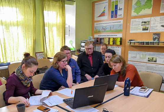
Modeling group work, project meeting 15.4.2019 in St-Petersburg.
Nutrient loading modeling and Land cover using satellite observations
The data (meteorological, hydrological data, land use etc.) needed for modelling was collected and analysed. In SYKE, land cover information is collected using remote sensing techniques. Preliminary classification of land use types was done. IL RAS selected tested sites/polygons in the catchments areas of Sestra and Rakkolanjoki for further sampling and analyzing nutrient load from different land use types.
Scenario work was discussed and it was decided that scenarios will be tailored according to the needs of local actors. The models (SWAT and ILHM & ILLM) can be used for simulating land-use changes, testing of the effectiveness of water protection methods and climate change scenarios. All modelling activities were started according to the plan.
Public awareness

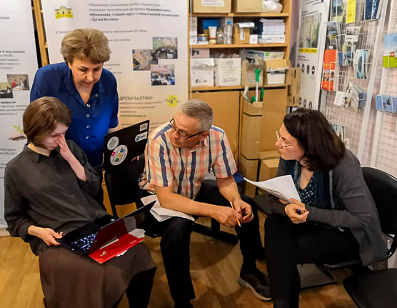
Public awereness group work, project meeting in St-Petersburg.
Citizen surveys
The draft of questionnaire for postal and face-to-face interviewing has been prepared by specialists of SYKE, ELY Centre, and Ecocentrum. The main focus of questionnaire is to learn if the local residents are satisfied with the state of surrounding water bodies and ready to change their behavior that could contribute to water quality improvement.
Public awareness, attitudes, and preferences
Educational cooperation was promoted in a few meetings with schools. The Russian side conducted two-part training for school teachers and environmental activists.
Public river watch
The 1st version of SEVIRA Wiki in English will be released in May. These sources are going to be used for educational process. As for Russian side such source is brand new, it will have the test drive. In Russia more than 10 school groups plan field visits to the project rivers.
First school field trips in both Russia and Finland are planned to start in May.